Maps and Photos
Mill Site Maps and Aerial Photos


OU-E Aerial Photo & Detail Maps


Pond 8 Cross Section, Pre- and Post-Earthquake


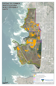
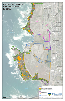
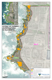
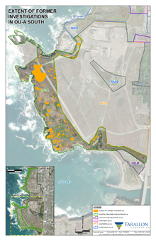
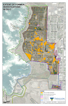
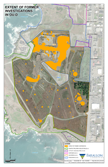
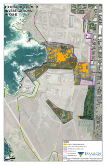
Extent of Former Investigations Maps
Composite maps prepared by Farallon Consulting from reports in the DTSC Envirostore repository of documents concerning the mill site. Orange markings show where sampling and test wells were located and data was collected.